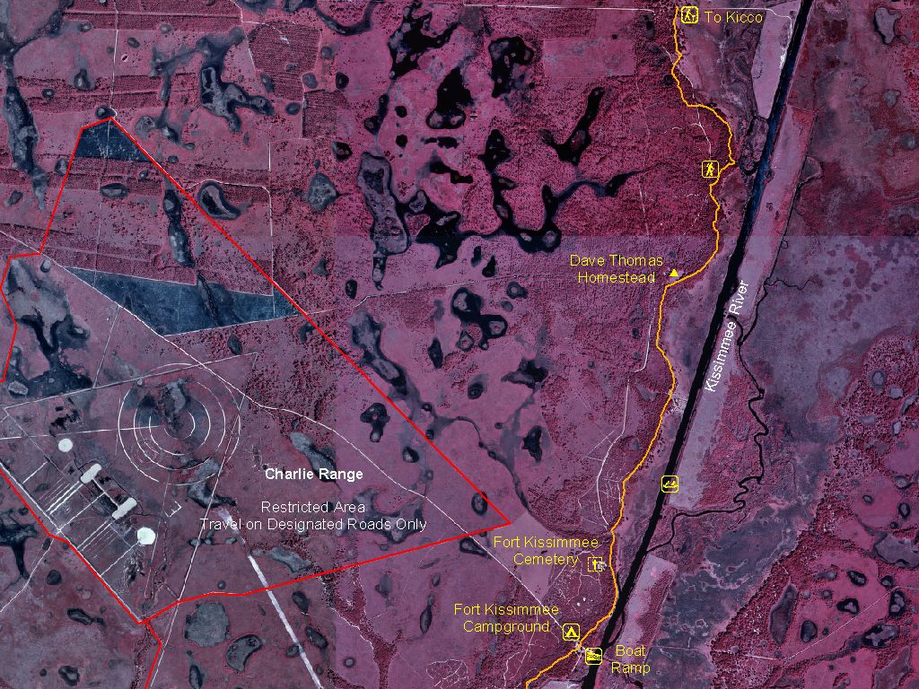
 Infrared aerial mapping is when a film or image sensor is used to exposed the sensitivity of infrared light. These photos are taken from above the target and omit a red lighting. This is a map of the Avon Park Air Force Range.
http://www.outintheboonies.com/Avon_Park_AFR/
No comments:
Post a Comment